Unmanned Aerial Systems
Surveys
Michigan
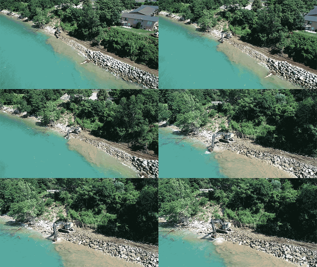
Williams & Works uses Unmanned Aerial Systems (UAV) to capture high-resolution photos to create orthorectified images, 3D point cloud data, 3D models, and digital elevation models. We are also using this technology for inspection purposes capturing video, and photos of construction progress.
This data can be quickly acquired using UAV’s (drones) at a minimal cost compared to traditional methods. Pictures can be acquired on site, processed, and then reviewed on a web browser, or output files used in programs such as Civil 3D or Revit.
This technology provides a quick and cost-effective way to get an elevated look, accurate model and 3D point cloud data. This data can then be used for:
- Volumetric surveys of gravel pits, landfills, or stock piles.
- 3D mesh models of a project area to assist in planning or design.
- 3D point could data for engineering purposes.
- Inspection or construction progress monitoring.